Products
Wide range of capabilities and marketplace knowledge


Data Handling/Data Processing/Data Dissemination
Contact Sales
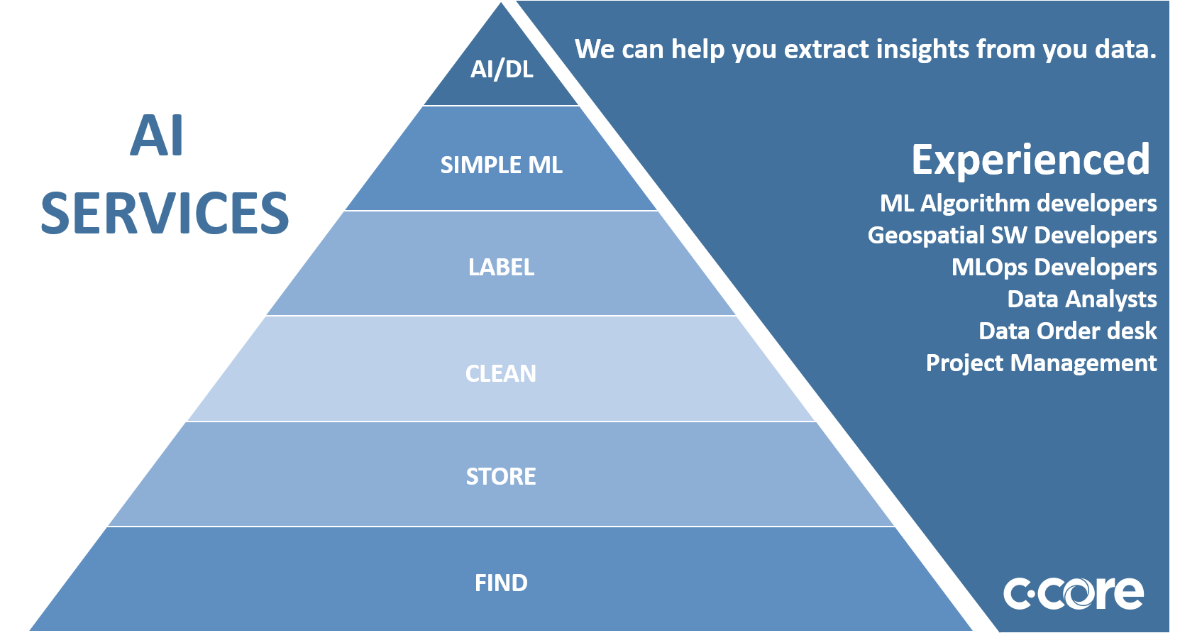
Cost effectively store, and find your geospatial data
Algorithm Development, Processing Chain Automation including MLOps
We can help you get your data into the hands of your customers or existing toolsets.


C-CORE has extensive experience developing Machine learning algorithms to extract insight from Earth Observation data such as change detection, object detection (oil spills), and object classification (land, ship/icebergs, and ice classifications). C-CORE in partnership with Equinor ran one of the largest image classification contest on the internet using the Google owned Kaggle platform. The machine learning competition generated over 40,000 entries from over 3000 of the worlds best data scientists. The success of this project was based on well curated/labeled data and underlying research to providing new to EO data scientist a running start.
